


-
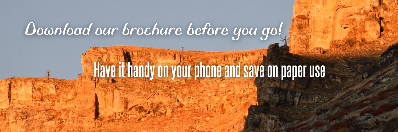 Go to download page →
-
 Visit Our Facebook Page!
-

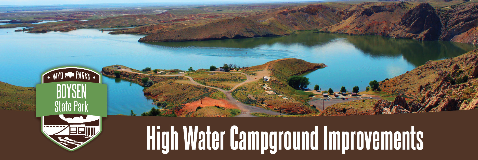
Boysen State Park
Click here to view nowVisit our about page to learn more about our site.
-
 Find out more!
Activities & Amenities


(Click images to learn more about the various Activities & Amenities)
- About Our Site
- Updates
- More Information
- Events
About Our Site - Boysen State Park

The first white men through the Wind River Canyon were the Ashley Fur Party in 1825. The original dam was built by Asmus Boysen in 1908, for whom the park and reservoir are named. Part of the original dam can still be seen adjacent to the tunnels on the Lower Wind River Campground. Mr. Boysen also built a 710kW power plant at the site. Operations ceased when in 1923 a major flood filled the plant with silt.
The CB&O Railroad went through the canyon in 1911 and the state highway went through in 1925. The existing dam was completed in 1951. Boysen became a state park in 1956.

Wyoming State Parks Announces Pause on Potential Visitor Center Project at Sinks Canyon State Park
LANDER, Wyo. – March 26, 2026 - The Wyoming Department of State Parks and Cultural Resources (SPCR) is announcing a pause on a possible visitor center project at Sinks Canyon State Park following public engagement efforts conducted in late 2025.
On Dec. 1, 2025, Wyoming State Parks, in partnership with Sinks Canyon WILD, hosted a public forum and gathered feedback from park visitors, community members, and stakeholders regarding the possibility of a new or enhanced park visitor center. Input received through that process helped inform the agency’s decision to pause the project at this time.
“We appreciate the thoughtful feedback shared during the public engagement process,” said Carly-Ann Carruthers, planning manager for the Wyoming Department of State Parks and Cultural Resources. “Community perspectives are an important part of our planning process and help ensure that future projects reflect the needs and values of the people who care about Sinks Canyon.”
Comments received during the engagement process highlighted several areas for further consideration, including the need for additional community and tribal engagement, further justification for a new or expanded visitor center, and additional evaluation of potential locations for such a facility. Some participants also suggested exploring alternative settings outside of the state park.
This pause presents an opportunity for interested citizens and stakeholders to work with park staff to develop a vision for such a facility. The agency hopes that a community-driven consensus will emerge in the months and years ahead regarding future visitor services and opportunities at Sinks Canyon State Park, which continues to see high visitation each year
For more information on Sinks Canyon State Park, visit http://wyoparks.wyo.gov/sinkscanyon.

Figure 1: Exterior of the Sinks Canyon State Park Visitor Center.
Contacts:
Carly-Ann Carruthers, (307) 777-6968; This email address is being protected from spambots. You need JavaScript enabled to view it.
Jessica Moore, (307) 332-6333; This email address is being protected from spambots. You need JavaScript enabled to view it.
View more updates for Boysen State Park!
- Wyoming State Parks Announces Pause on Potential Visitor Center Project at Sinks Canyon State Park 2026-03-31 09:47:47
- Access across the Boysen Dam to be interrupted during the week of August 21 2023-08-24 14:30:21
- Minor flooding experienced at Boysen State Park 2023-07-05 04:34:02
- Wyoming Department of Health Issues New Harmful Cyanobacterial Bloom (HCB) Recreational Use Advisories 2022-07-27 04:44:29
- Boysen State Park Informational Meeting scheduled for September 7 2021-09-02 11:39:12
- Wyoming Naturalist Program Launched, will meet at Boysen State Park in May 2021-01-29 10:47:45
- Railway Road Crossing is Improved 2020-04-16 15:26:09
- Boysen Upper Wind River Campground Closed for Construction 2018-10-08 14:41:57
- Water Quality Advisory in Effect at Boysen Reservoir 2018-07-31 13:33:00
- Boysen State Park Wild West Winter Carnival on the Horizon 2018-01-09 14:07:12
- Boysen State Park hosts special Eclipse programming 2017-08-14 09:59:26
- Portion of Boysen's Tough Creek Campground closed due to high water 2017-06-22 15:13:51
- Boysen State Park - Welcome to our new Website! 2017-03-28 14:28:03
More Information - Boysen State Park

- Current Dam
- Structural height: 216 feet
- Crest Length: 1,100 feet
- Type: rolled earth, rock-fill
- Volume of material: 1,700,000 cubic yards
- Spillway capacity: 20,000 cubic feet/seconds
- Power plant: 15,000 kw
Reservoir and park
- Water: 19,560 acres
- Shoreline: 76 miles
- Length: 20 miles
- Widest point: 5.5 miles
- Land: 15,145
Believe it or not…
Yes! Contrary to what your eyes tell you, the Wind River flows NORTH!


 |
Site Status |
||||||||
Attention: HCB Advisories In Effect 7/13/2026 Visit: Bit.ly/WyoHCB2026 for more information and to help report sightings. - - - - - |
|||||||||
 |
Hours |
||||||||
Grounds open all year - 24 hours. Season Park grounds are open year-round, weather permitting.
|


